Verify availability
Add to lists:✕
Located about 1km northeast from the village center, it is convenient for shopping and transportation, and can also be accessed by bicycle. The bright southern tiered land overlooks Mt. Fukami in front and Mt. Kodanrei to the north. The access road is wide enough for two cars to pass each other, but wide enough for one car to pass. The construction of the water and sewerage lines has been completed, and the buyer will be responsible for the beneficiary's share, water subscription fee, and construction costs, totaling approximately 1.2 million yen. The land is large enough to provide space for a vegetable garden, making it a recommended location for settling down, but it would also be good to build a compact vacation home for weekend use.村の中心地から北東へ1km程の場所に位置し、買い物や交通の便が良く、自転車で行動もできる立地。南ひな壇の明るい土地は、正面に夫神岳を望み、北側には子檀嶺岳を望める。進入路は、すれ違いが出来ない幅だが車一台通行するには充分な幅。上下水道の引込工事は終わっており、買主様は受益者分担金、水道加入金、引込工事費用、約120万円の費用負担がある。菜園スペースも確保できる広さなので定住にもオススメの立地だが、コンパクトな別荘を建て、週末利用するもの良いだろう。
Land:土地面積 | 472 m² |
---|---|
Scale:建物規模 | Land area 472.18㎡ (142.83 tsubo)土地面積472.18㎡(142.83坪) |
Structure:構造 | Residential land宅地 |
With magnificent views of Mt. Asama and the Northern Alps, the Mimakihara Plateau is a popular place for many Furusato members to settle and use as a vacation home. The main land, about 330m², slopes gently to the east and is covered with a mixed forest of chestnut and sawtooth oak trees. There is one vacation home on the east side, but it is about 70m away from the village, so it is at a comfortable distance. There is little traffic, so you can forget the hustle and bustle of the city. It is a good place to build a house on the hill, but it would also be nice to use it as a private campsite or a place to make firewood. The construction work to connect the public water supply is included in the price, and the beneficiary fee is 80,000 yen (excluding tax).浅間連山や北アルプスの雄大な眺めが望める事で、多くのふるさと会員も定住や別荘利用する御牧原台地。約100坪の本地は東側へ緩傾斜し、クリやクヌギの雑木林となる。東側に別荘が一軒あるが、集落までは70m程離れており、程よい距離感が保たれている。交通量も少なく都会の喧騒を忘れさせてくれる。小高い部分に住宅を建てるのも良いが、専用キャンプ場や薪木を造る場所として楽しむのも良さそうだ。公営水道の引き込み工事は価格に含んでおり、受益者負担金は8万円(税別)となる。
Land:土地面積 | 330 m² |
---|---|
Scale:建物規模 | Approximately 100 tsubo約100坪 |
Structure:構造 | Forest山林 |
The Muramatsu area of Aoki Village has great views and convenient living. This property is located about 400m north of National Route 143, which runs through the center of Aoki Village, near Muramatsu Shrine. The surrounding area is a peaceful landscape of fields and houses scattered around. The farmland is about 410m2 in size, slightly lower than the road and stretches from east to west, and is sunny. It is convenient that it is possible to connect to the public water supply and public sewerage system (fees apply). It is within walking distance of convenience stores, roadside stations, and the village office, and the great views of Mt. Ogami to the south make it a good idea to convert the farmland into residential land and consider living there.青木村の中でも生活便と眺望が良い村松地区。本物件は、青木村の中心を通る、国道143号線から北へ約400m、村松神社の近くに位置する。周囲は、田畑が広がる長閑な風景に住宅が点在する。道路より一段低く東西に広がる日当たりが良い約125坪の農地。公営水道、公共下水への接続(費用負担有)が可能なのは有難い。コンビニや道の駅、村役場まで徒歩圏内で、南には夫神岳を望める眺望の良さは、農地から宅地に転用し、居宅も検討してみたい。
Land:土地面積 | 420 m² |
---|---|
Scale:建物規模 | Approximately 400m2約125坪 |
Structure:構造 | Field, mixed land, mixed land畑、雑種地、雑種地 |
It is about 400m south of the Aoki Roadside Station. It is an area of rice fields where you can enjoy the typical Aoki scenery of Mt. Asama, Mt. Kodanrei, and Mt. Fukami. The land is classified as rice paddy, but is currently used as a field. If the building is built close to the site, it seems that there would be space for a parking lot as well as a vegetable garden. The site has water and sewage lines, and the construction costs are about 1 million yen. It is about 4km to Tazawa Onsen, where the legend of Kintaro remains, and you can enjoy the hot springs to your heart's content. The east side is stepped and has a vinyl greenhouse with flowers. The noise from the metal processing factory on the south side is not too bothersome.「道の駅あおき」から南へ400m程。田畑が広がる一画で、浅間連山や子檀嶺岳、夫神岳が望める青木らしい景色が楽しめる場所。地目は田だが、現在は畑として利用している。建物を寄せて建てれば、駐車スペースの他にも家庭菜園の場所も確保できそうだ。上下水道の引込が出来る場所で、引込工事費用で100万円ほど。金太郎伝説が残る「田沢温泉」までは4km程と温泉三昧が楽しめる。東側は段下になり、花のビニールハウスがある。南側の金属加工場の音はあまり気にならない。
Land:土地面積 | 703 m² |
---|---|
Scale:建物規模 | 703㎡ (212.65 tsubo)703㎡(212.65坪) |
Structure:構造 | Residential land宅地 |
Nearby facilities: Kobato Nursery School, 50m, 1 minute on foot Wakamatsu Elementary School, 1400m, 18 minutes on foot Marunouchi Junior High School, 1200m, 15 minutes on foot Morita Hospital, 600m, 7 minutes on foot Aoki Kusuri Sonomachi Store, 750m, 9 minutes on foot Al Plaza Heiwado, 650m, 8 minutes on foot Seven-Eleven Sonomachi Store, 750m, 10 minutes on foot Genki Shirae Store, 400m, 5 minutes on foot Komatsu Station, 1600m, 6 minutes by car《周辺施設》こばと保育園 50m徒歩約1分稚松小学校 1400m徒歩約18分丸内中学校 1200m徒歩約15分森田病院 600m徒歩約7分クスリのアオキ園町店 750m徒歩約9分アルプラザ平和堂 650m徒歩約8分セブンイレブン園町店 750m徒歩約10分ゲンキー白江店 400m徒歩約5分小松駅 1600m車6分
Land:土地面積 | 479 m² |
---|---|
Scale:建物規模 | 479 m²479 m² |
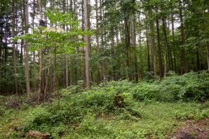
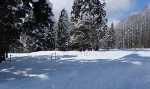
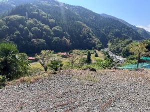
The Chubu region is one of Japan's major geographical regions, situated in the central part of the country's main island, Honshu. Chubu is known for its diverse landscape, which includes coastal areas along the Pacific Ocean, mountainous regions, and urban centers. The Chubu region is home to several significant cities, including Nagoya, the largest city in the region.
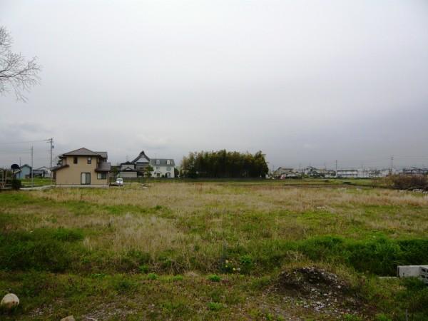
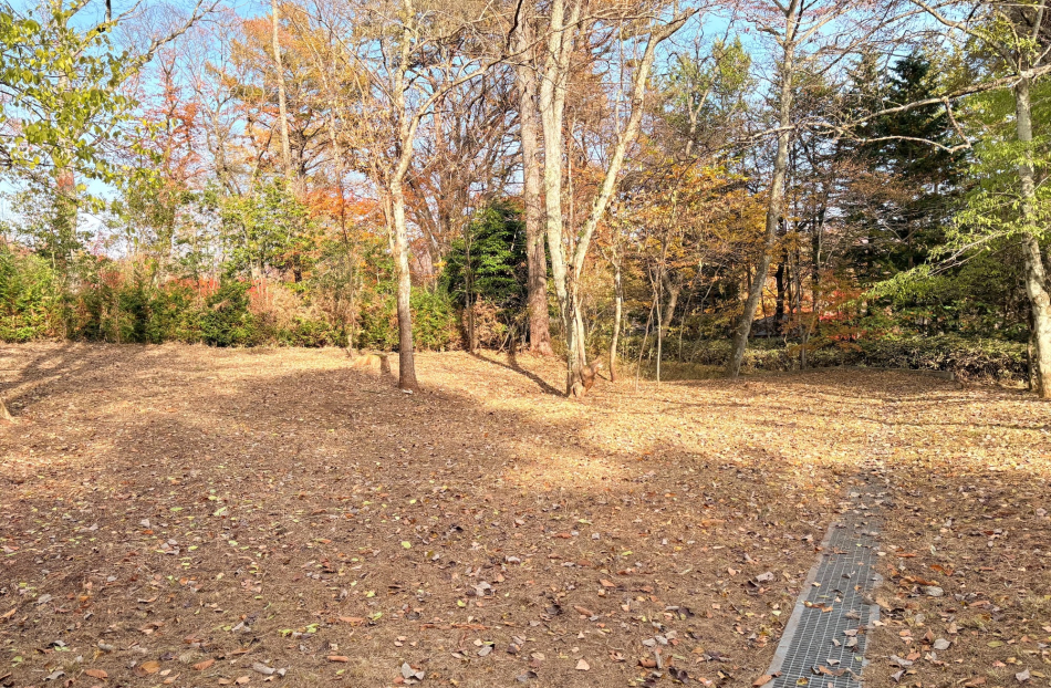
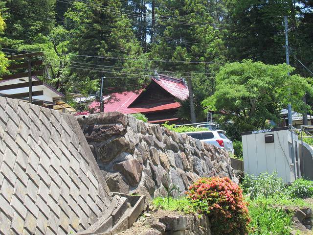
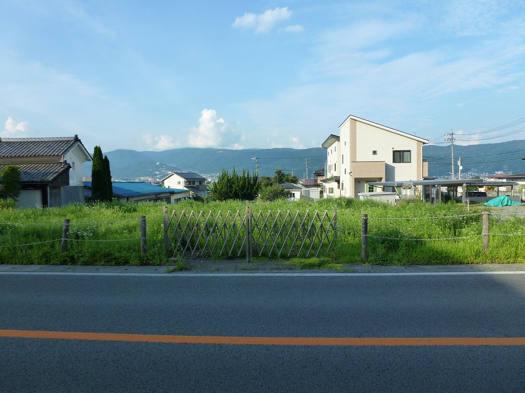
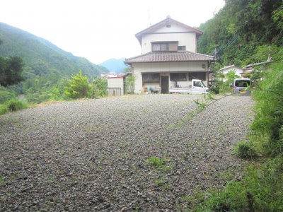
Housing affordability in the Chubu region can vary widely depending on the specific location. In cities like Nagoya, housing costs are relatively lower compared to Tokyo or Osaka, making it a more affordable option for urban living. In rural areas of Chubu, you may find more affordable housing options, including traditional Japanese homes and abandoned properties, which can be renovated at a lower cost. Some areas within commuting distance of Nagoya may offer a balance of affordability and access to urban job opportunities.
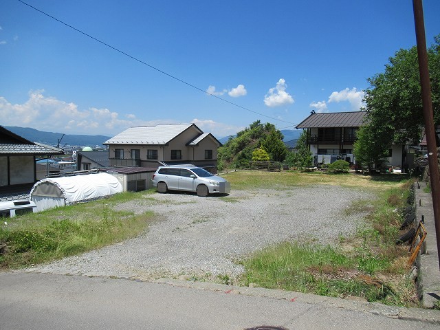
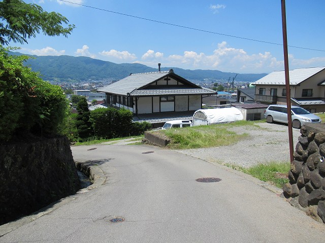
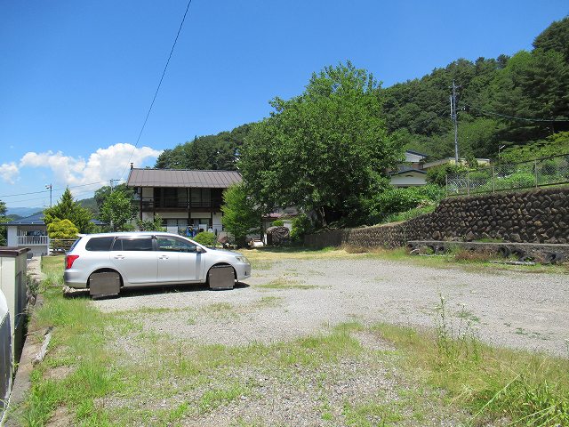
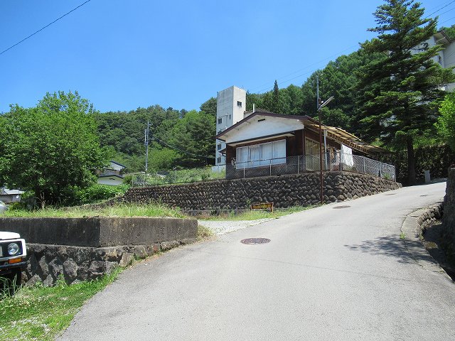
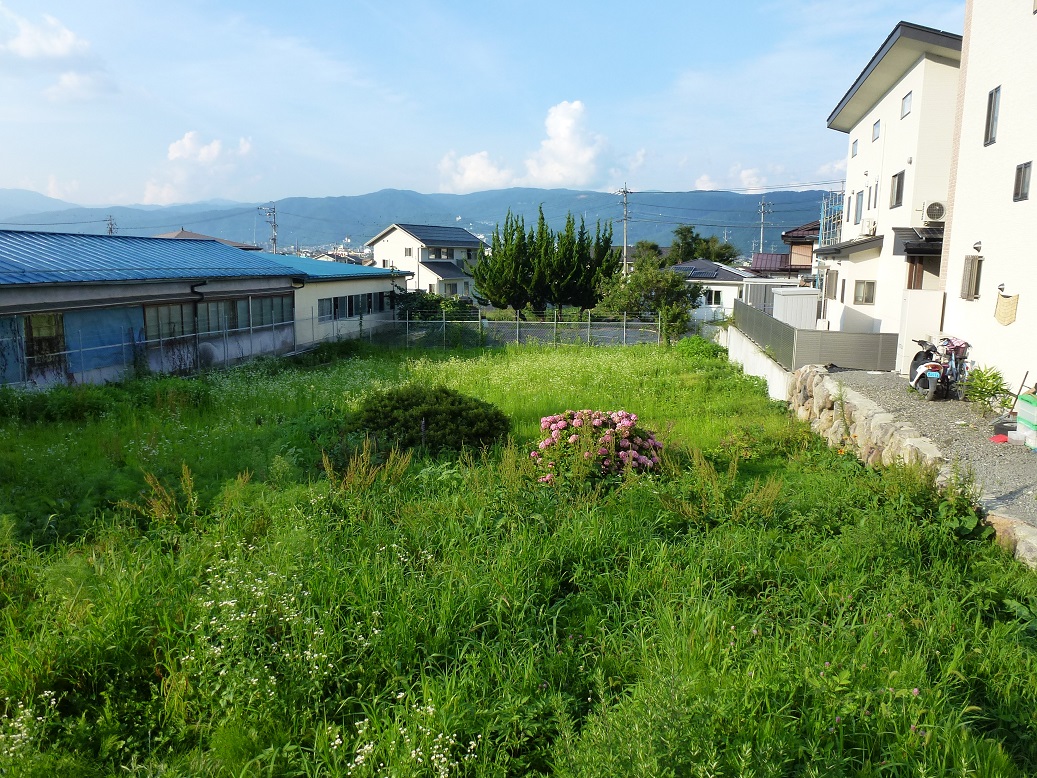
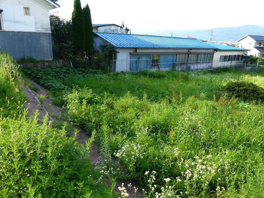
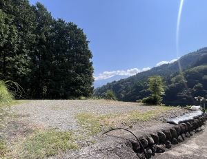
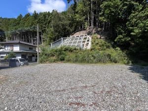